
We’ve cleaned up the Worldmapper app and have released it for anyone to download. Download Worldmapper for the Vision Pro.
Previously, we wrote about Wyld’s Great Globe and how we adapted that concept into an Apple Vision Pro app with the help of team from Worldmapper.org
Just because the app is published doesn’t mean it is done. We will continue to evolve the app over time with new maps will be added and old ones updated.
Outreach
The goal of the project is to be part of the larger outreach program at the University of Iceland (Háskóli Íslands). Working with the Worldmapper team, we took some of their equirectilinear projection maps and worked to display them in a sphere. This produces maps with no distortion – the bane of any 2D map projection.
For the Meta Quests, we created a 5K looping video of the Nature’s Heartbeat. The video loads in various spherical video players as if you were in the center of the Earth. It is the same benefits as Wyld’s Great Globe, it removes all the distortion from a regular 2D map projection and puts you front and center.
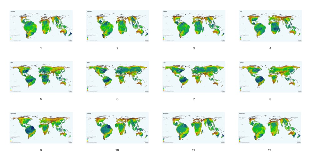
For their outreach events they have nice gradient of interactivity based on your skill and knowledge. It starts with paper craft. They have 2D maps that you can cut out, fold and glue into cubes and other 3D shapes. Next, the traditional screens you can view, which quickly moves to larger, touch screens so you can explore the data yourself. Now they have moved into Virtual Reality with a basic looping spherical video. This takes no effort to put on a Meta Quest headset, watch a few seconds of a looping video, enjoy and move on.
The most recent step at the top of gradient of interactivity is the Vision Pro and that’s where we come in. Our experience with Virtual Reality and the Vision Pro joined with Worldmapper’s depth of content and digital experimentation were a great fit.
We decided that the Apple Vision Pro would be the premium experience. There is a hefty initial setup for anyone trying the device. You have to calibrate your eyes and hands for the system to work with gestures. Due to the time it takes to setup and the UI/interaction learning curve, we weren’t just going to show a 1-minute looping video. It needed to be a place to explore and take it the experience at your own pace.
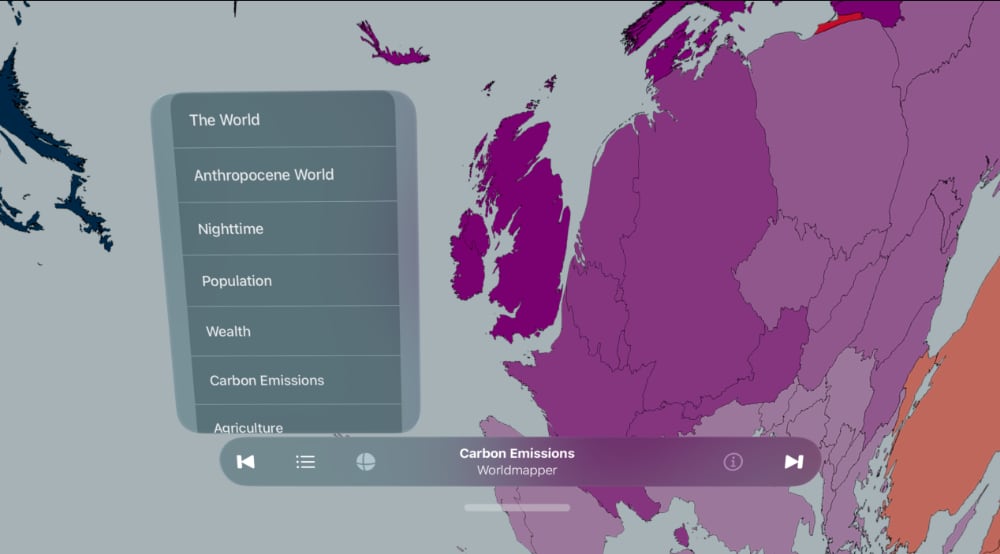
To start with, Worldmapper pulled out 30 cartograms in a series of categories that we put into the menu. When you are in the app you are completely surrounded by the Black Marble photo from NASA. This allows you to get your bearings of where everything is located. Since technically it is inverted if you were really at the center of the earth you’d see the inside of the Earth’s Crust, but we keep the map more recognizable. As the next jumping off point, we convert the photo to an illustration of country boundaries, then allow you to select a topic, like number of horses, and distort the landmasses according to a different variable than square kilometers.
To keep things simple, all the maps are embedded in the app, which makes it larger. In the future, we’d like to create an admin tool that allows the Worldmapper team to swap maps without needed to re-submit the app for approval. The downside of this, is we need to cache-up all the images incase the destination where the outreach is happening doesn’t have a reliable internet connection.
We look forward to collaborating more with Worldmapper and the University of Iceland on these outreach projects.